 Originally posted by interested_observer
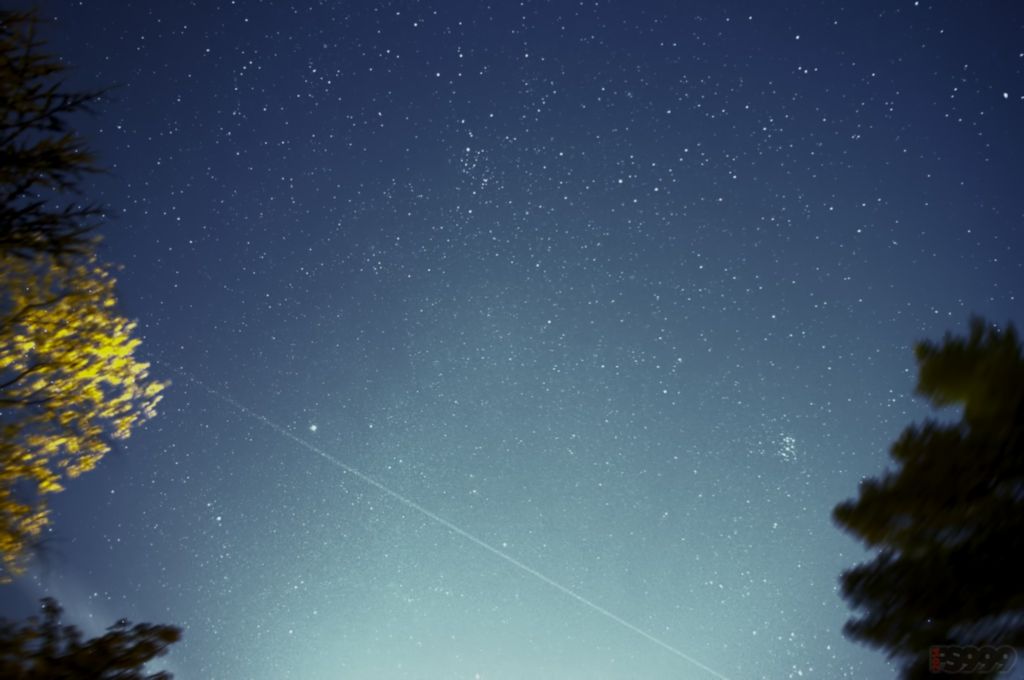
You are located near Helsinki Finland, if I am not mistaken, which is at 59 degrees North. So the GPS satellites fly up from the south, and essentially turn overhead and head back south again.
Over 60 degrees North

But you are right. I don't have GPS satellites over my head or in the north. Glonass would be better for me or if I could rig my camera to use DGPS. I accused my tripod because it is not sturdy enough for my camera and 1 kg objective. At least wind caused some vibrations in long exposure shots. Or it might have been that sea ice I was standing on and moving around my camera while it was taking a picture.
Nice info and thanks for detailed answer!
Originally posted by Gimbal The heading and the angle up/ down however has a large impact on the result. And the electronic compass is tricky, sometimes its accurate, and sometimes its not. The heading from the compass is also affected by the angle of the camera.
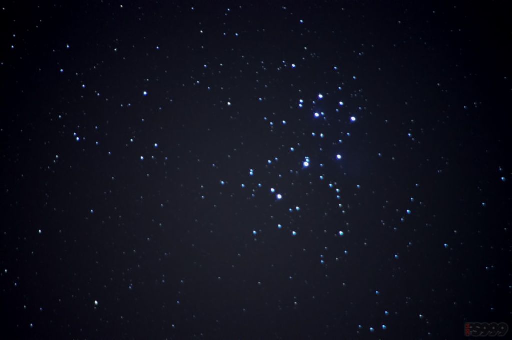
Stacking is the key to success.
I'm leaning on this. That electronic compass can sometimes be pain in the arse. I try to keep everything electrical or metallic (phones etc.) things as far as possible from the camera. I'm also thinking that my K5 electronic level indicator is little bit off (or my sensor is degree or two tilted). So if that error affects on headings with O-gps then I need to upgrade my system sometime. Now I will go with these and try stacking.

Originally posted by fs999 Where can I find a good star map on internet ?
I'm using google sky map with my phone on site.


 Post #1083 by Eric Seavey
 Similar Threads


