Here's a few select shots from a scramble up Mt Niles in the park - it's around 23km with 1350m of elevation gain up to the summit at 2976m, making a nice 8.5 hour stroll. Here's a shot of an alpine meadow you encounter on the way, you can see Mt Victoria as the largest peak at nearly 3464m tall right in the centre here:

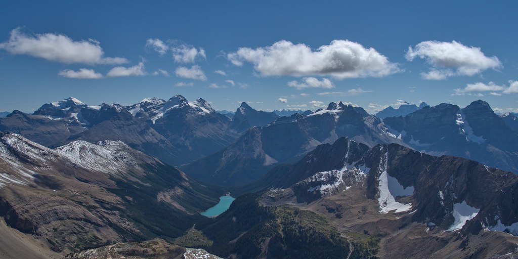
The views from up there were simply amazing, with the good visibility that day we could see ranges and ranges of mountains as far as the eye could see in every direction. From the peak you can look down and see Sherbrooke Lake. Mt Victoria is again visible, centre left. Mt Temple is the large peak on the left at 3544 tall. The Goodsir towers are seen peaking through the clouds in the distance on the right, at a height of 3567m. And of course many many others, but these are the more notable mountains...
In the other direction we have the Waputik Icefield. Again, layered mountain ranges, the Icefield Parkway lying within them. On the ridge to the right that descends into the glacier (Mt Daly), you may be able to see a tiny abnormal bump - that's the Scott Duncan ACC hut:


 Post #1 by bertwert
 Similar Threads


