 Originally posted by MJSfoto1956
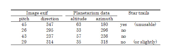
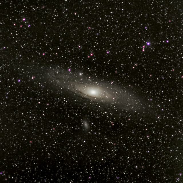
hmmm. not seeing it in the EXIF data for my image. Here's what I have:
It isn't in the GPS part. Here's the portion (line 3+4 below) and what follows down to, where GPS-data begins:
Level Orientation : Upwards
Composition Adjust : Off
Roll Angle : -45
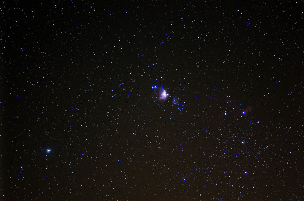
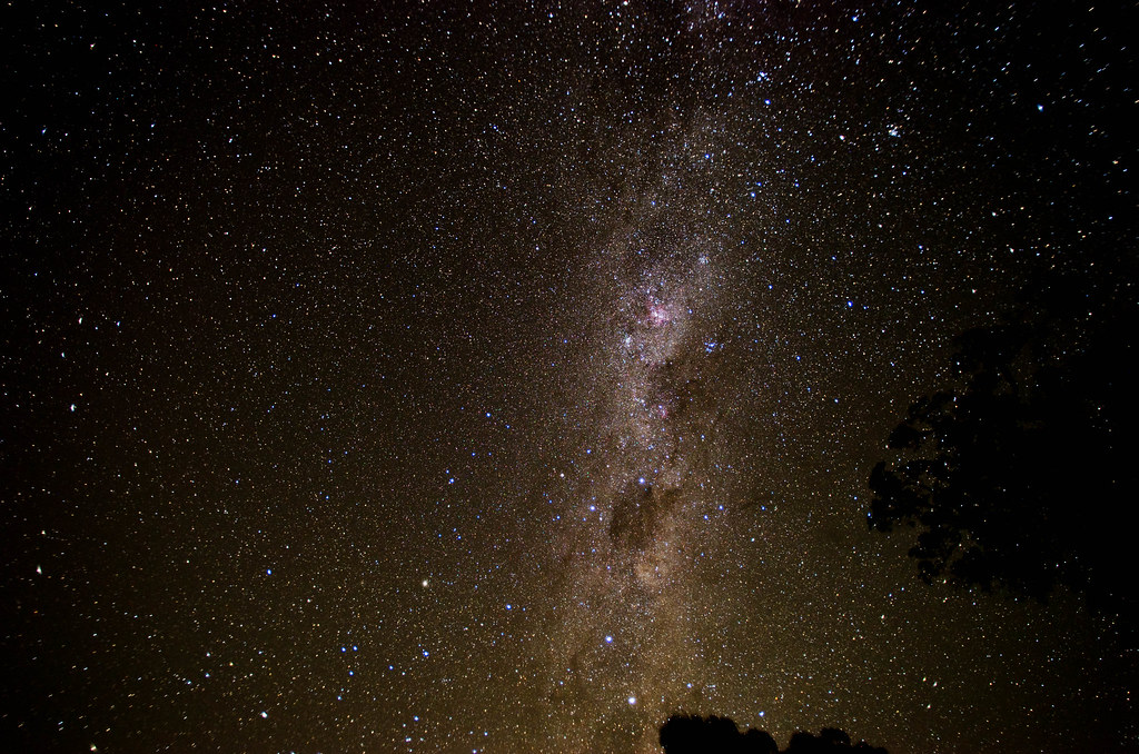
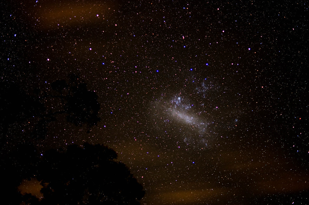
Pitch Angle : 45
Composition Adjust X : 0
Composition Adjust Y : 0
Composition Adjust Rotation : 0
WB RGGB Levels Daylight : 17750 8192 8192 13142
WB RGGB Levels Shade : 21208 8192 8192 9809
WB RGGB Levels Cloudy : 19125 8192 8192 11237
WB RGGB Levels Tungsten : 10667 8192 8192 24380
WB RGGB Levels Fluorescent D : 21917 8192 8192 12666
WB RGGB Levels Fluorescent N : 18792 8192 8192 14094
WB RGGB Levels Fluorescent W : 17083 8192 8192 17427
WB RGGB Levels Flash : 20125 8192 8192 12094
WB RGGB Levels Fluorescent L : 14292 8192 8192 21808
WB RGGB Levels User Selected : 17750 8192 8192 13142
Contrast Detect AF Area : 0 0 0 0
Camera Temperature 2 : 18.2 C
Camera Temperature 3 : 18.1 C
Camera Temperature 4 : 18 C
Camera Temperature 5 : 18 C
Flashpix Version : 0100
Color Space : sRGB
Exif Image Width : 4928
Exif Image Height : 3264
Interoperability Index : R98 - DCF basic file (sRGB)
Interoperability Version : 0100
Sensing Method : One-chip color area
File Source : Digital Camera
Scene Type : Directly photographed
Custom Rendered : Normal
Exposure Mode : Manual
Focal Length In 35mm Format : 75 mm
Scene Capture Type : Standard
Contrast : Normal
Saturation : Normal
Sharpness : Hard
Subject Distance Range : Distant
GPS Version ID : 2.3.0.0


 Post #36 by pixelsaurus
 Similar Threads


