 Originally posted by Nesster
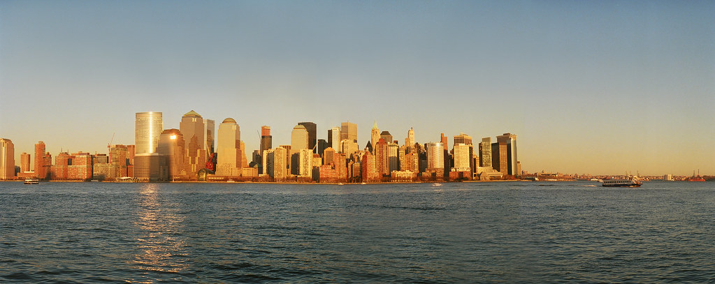
Here's a panorama from the SV/55 -
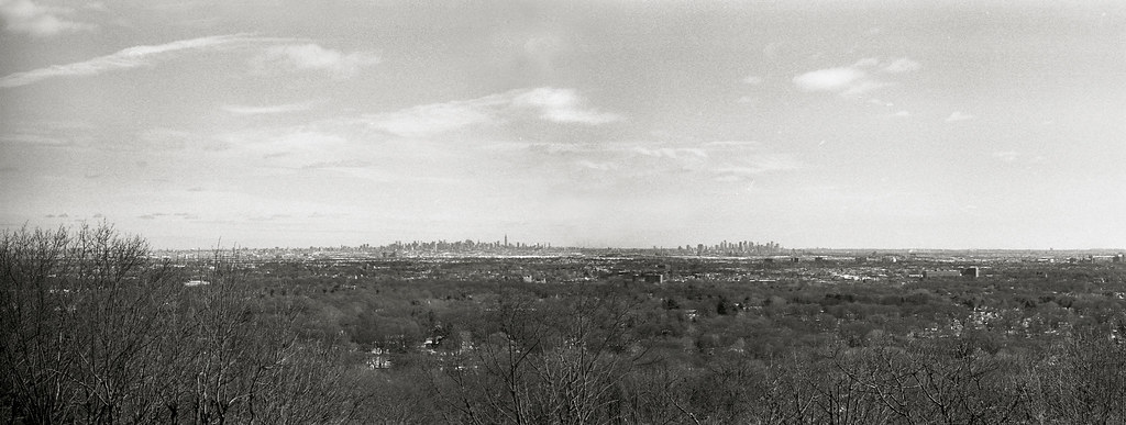
I generally know where this is too... somewhere along the basin/range from Clifton to Montclair-ish, no?
Great shot of New York City.
Geologically, if you look at New York City in this manner you can see that there are high buildings along midtown, and then again all the way downtown. This is where bedrock comes to the surface.
The area in between is full of rubble and glacial till and will not support taller buildings. Picture it as two SS's that are connected and laid in the their sides... two "hump" if you will... that is what the rock looks like underneath NYC. The buildings show you where the "humps" come to the surface.
Your photo shows this beautifully. I used to go up on that range and sit and look out over this scene at night.
woof


")

 )
)


 Post #1157 by murrelet
 Similar Threads


